Afan Forest Park – Visitor Centre, near Port Talbot
Main starting point for mountain bike and walking...

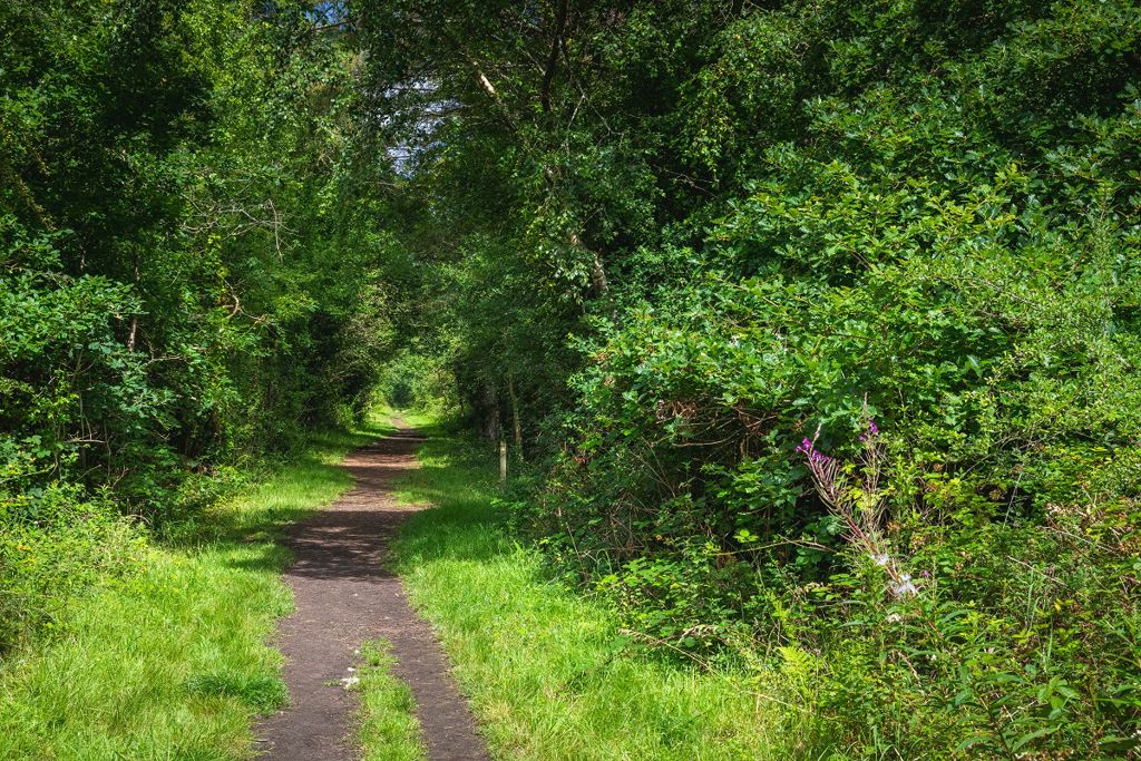
Pen-y-Bedd Wood is a great place for a gentle stroll and is a popular picnic site near the Carmarthenshire coast.
This area was once farmland near the site of a Royal Ordnance factory which closed in the 1960s and the waymarked woodland walk follows the disused railway line.
The large grassy picnic area is next to the car park.
The walking trail is waymarked from start to finish.
Look out for the information panel at the start of the trail.
Find out about walking trail grades.
Follow this gentle walk on sandy tracks past looming Corsican pine trees to a decked viewing area overlooking a pond.
Part of the route follows the old railway line which once served the Royal Ordnance factory and there are glimpses through the trees over fields and farmlands.
The trail returns to the car park through a mixed woodland.

This 64 mile/103 kilometre long distance walk runs through Pen-y-Bedd Wood and can be joined from the car park.
It starts at Pembrey Country Park, through rural eastern Carmarthenshire and Neath Port Talbot to end at Margam Country Park south of Port Talbot.
Saint Illtyd (or Illtud) was an early sixth century Welsh saint who founded an abbey and possibly Britain’s first school at Llantwit Major.
Find out about Saint Illtyd’s Walk on the Long Distance Walkers Association website.
Pen-y-Bedd is situated on the access road to Pembrey Country Park.
Pembrey Country Park is managed by Carmarthenshire County Council.
For more information about facilities and opening times go to the Pembrey Country Park website.
We want you to return home safely after your visit here.
You are responsible for your own safety as well as the safety of any children and animals with you during your visit.
For advice and tips to help you plan your visit here go to Visiting our places safely.
See the top of this webpage for details of any planned closures or other changes to visitor facilities here.
For your safety, always follow instructions from staff and signs including those for trail diversions or closures.
We may divert or close trails whilst we undertake maintenance work or other operations and we may need to close other visitor facilities temporarily.
In extreme weather, we may close facilities at short notice due to the risk of injury to visitors and staff.
You may need permission from us to organise an event or to carry out some activities on our land.
Check if you are allowed to use our land.
We recommend you follow these directions or use the Google map below which has a pin on this place’s location.
Pen-y-Bedd Wood is 7 miles west of Llanelli.
Follow brown and white tourist signs to Pembrey Country Park from the A484 between Carmarthen and Llanelli onto Factory Road.
The entrance to the car park is on the right, over the bridge just after leaving the A484.
The Ordnance Survey (OS) grid reference for the car park is SN 419 013 (Explorer Map 164 or 178).
The postcode is SA16 0DZ. Please note that this postcode covers a wide area and will not take you directly to the entrance.
View this place on the What3Words website.
The nearest mainline railway station is in Pembrey and Burry Port.
For details of public transport go to the Traveline Cymru website.
Parking is free of charge.
The car park can get full at busy times.
Overnight parking is not permitted.
There are no staff at this location.
Contact our customer team for general enquiries during office hours, Monday to Friday.