
Afan Forest Park – Visitor Centre, near Port Talbot
Main starting point for mountain bike and walking...
The Rhodfa Rhiw Goch (red) walking trail is closed.
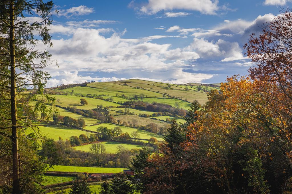
Caio Forest is made up of several conifer woodlands which spread out over the uplands high above the historic village of Caio in Carmarthenshire.
There are waymarked circular walking trails from the car park and many miles of forest roads and tracks.
The small picnic area is set in a clearing, just over the river from the car park.
The National Trust’s Dolaucothi estate is nearby and has walking trails and a Roman gold mine open to visitors.

The walking trails are waymarked from start to finish.
Look out for the information panel at the start of the trails.
Find out about walking trail grades.
This pleasant walk through the forest crosses a bridge over the stream where there is a picnic table in the clearing.

The longest of the waymarked trails is an easy and reasonably flat walk on forest roads.

This trail follows grassy paths and forest roads as it makes its way up through a variety of trees.
The climb is rewarded by great views.

We want you to return home safely after your visit here.
You are responsible for your own safety as well as the safety of any children and animals with you during your visit.
For advice and tips to help you plan your visit here go to Visiting our places safely.
See the top of this webpage for details of any planned closures or other changes to visitor facilities here.
For your safety, always follow instructions from staff and signs including those for trail diversions or closures.
We may divert or close trails whilst we undertake maintenance work or other operations and we may need to close other visitor facilities temporarily.
In extreme weather, we may close facilities at short notice due to the risk of injury to visitors and staff.
You may need permission from us to organise an event or to carry out some activities on our land.
Check if you are allowed to use our land.
We recommend you follow these directions or use the Google map below which has a pin on this place’s location.
Caio Forest is 10 miles north west of Llandovery.
Take the A40 from Llandovery towards Llandeilo.
At Llanwrda, take the A482 towards Lampeter.
After eight miles, turn right onto a minor road to Caio.
Go through Caio village, past the church and continue onto a no through road.
Bear left onto a forest track to Caio Forest car park.
The Ordnance Survey (OS) grid reference for the car park is SN 679 405 (Explorer Map 187).
The postcode is SA19 8UT. Please note that this postcode covers a wide area and will not take you directly to the entrance.
View this place on the What3Words website.
The nearest mainline railway station is in Llandovery.
For details of public transport go to the Traveline Cymru website.
Parking is free of charge.
Overnight parking is not permitted.
There are no staff at this location.
Contact our customer team for general enquiries during office hours, Monday to Friday.


